Turvey - #(25)
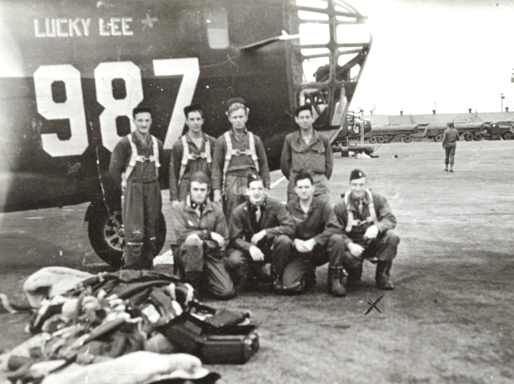
Courtesy of Peter Stekel
Standing L-R: Bursey, Robert O. (E/G); ?????; ?????; ?????
Kneeling L-R: ?????; ?????; ?????; Hester, Robert M. (CP)
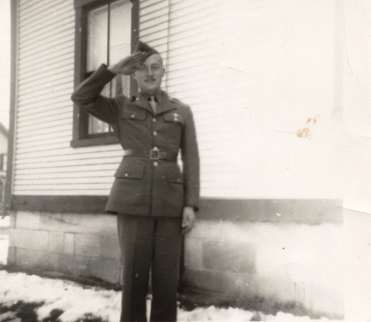
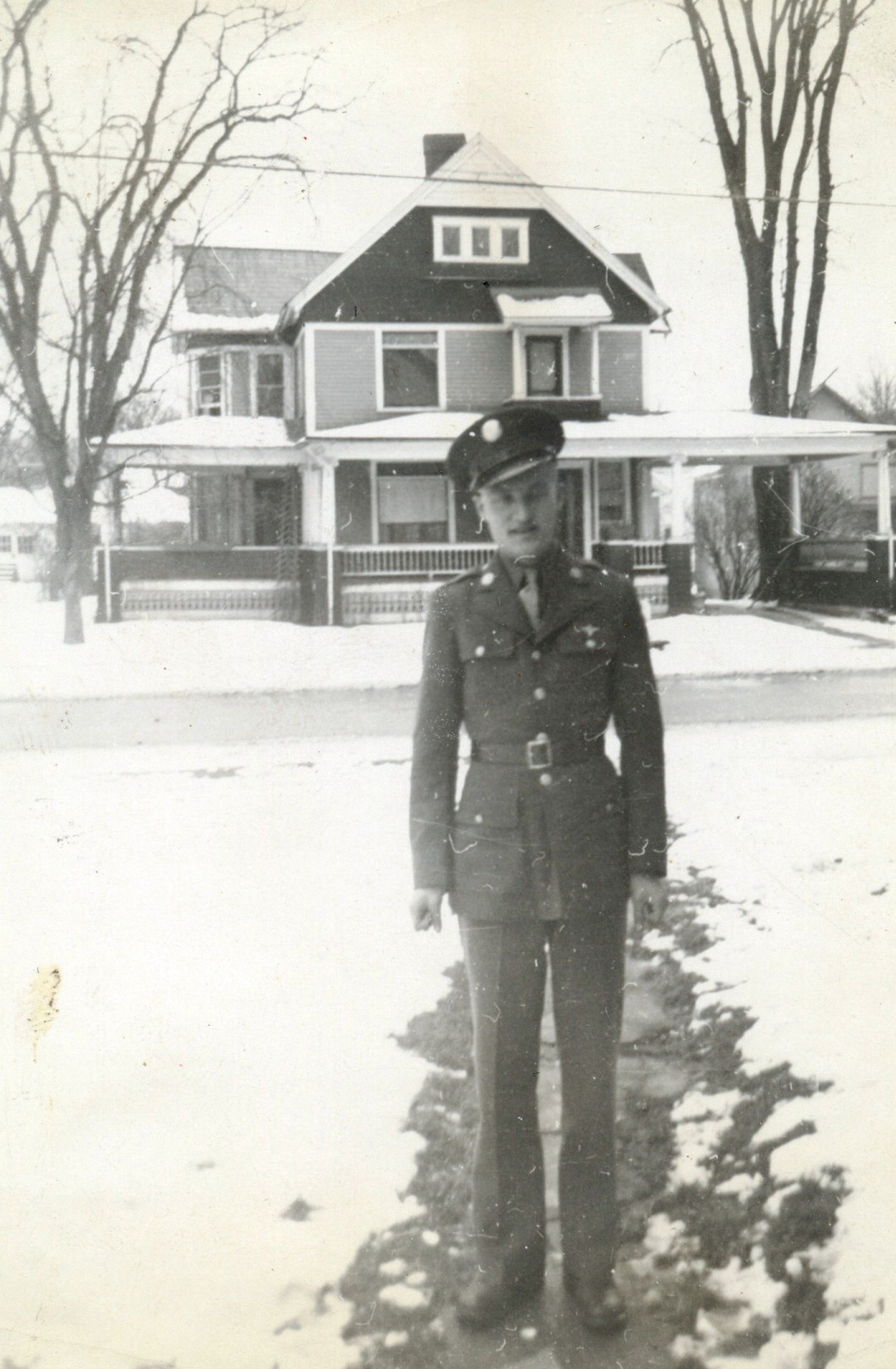
Turvey, Charles W., Pilot
Hester, Robert M., Co-Pilot
Cronin, William T., Navigator
Fish, Ellis H., Bombardier
Alford, Chester P., Gunner
Bursey, Robert O., Engineer/Gunner
Wandtke, Howard A., Radio Operator/Gunner
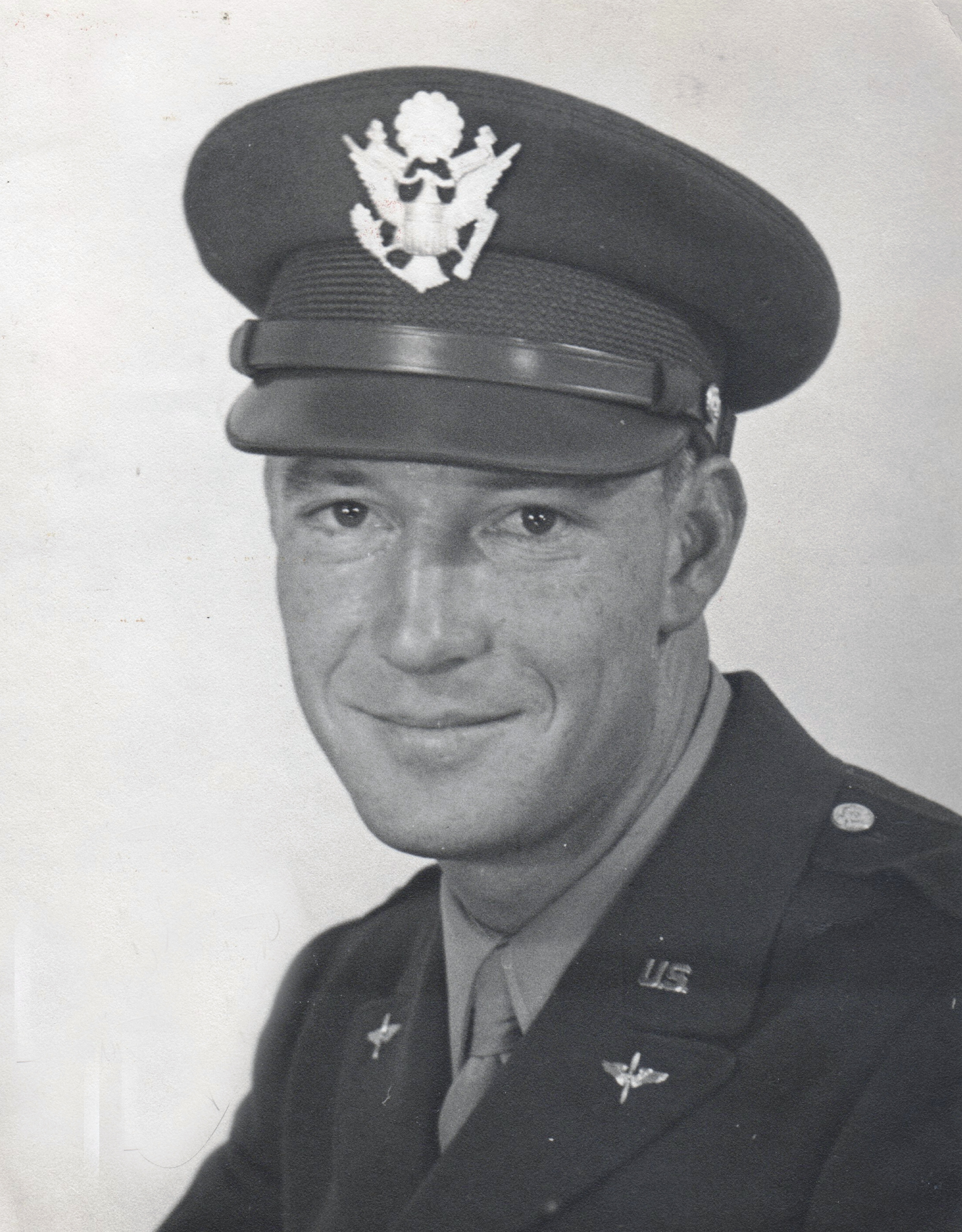
Courtesy of Janet Hester Hovden via Peter Stekel
Robert Hester
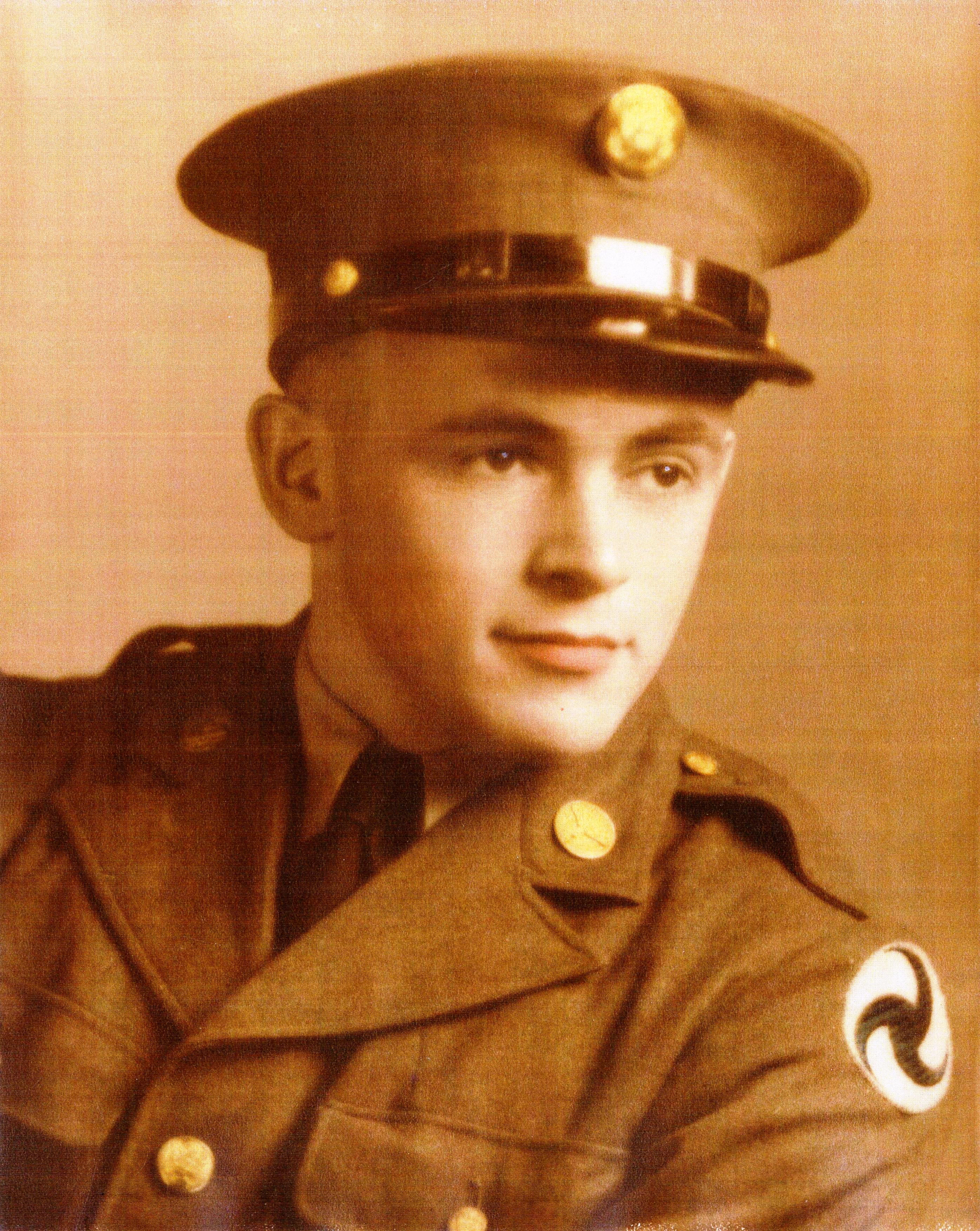
Courtesy of Ronald Welch, Jr. via Peter Stekel
William Cronin
Courtesy of David Hill and Robert Bursey family via peter Stekel
Robert O. Bursey
Courtesy of David Hill and Robert Bursey family via peter Stekel
Robert O. Bursey
All members of this crew except for Chester Alford were on a navigation training flight on 5 December 1943. They were flying B-24E Liberator, serial no. 41-25463. The following is from the accident report file when this aircraft went missing:
"This airplane and all members of the crew are missing. The last radio contact was at 0210. The position reported at that time was fifty (50) miles east of Muroc on a course of two hundred eighty (280) degrees, altitude eighteen thousand five hundred (18,500) feet. No indication of mechanical trouble was mentioned. Weather reports for the route do not indicate unfavorable conditions over the Sierra Nevada Mts. However, reports from other pilots in the same area at the same time reveal turbulence and cloud patches over these mountains. The cloudiness is believed to have been more general north of the course and practically negligible over the route Muroc - Bakersfield - Fresno. No indication of the cause or nature of the trouble can be determined definitely. It is probable that adverse weather conditions were encountered. It is also evident that action could have been taken to avoid unfavorable areas.
"In the absence of knowledge concerning the location of the cash or landing, insufficient evidence is available to determine whether navigational or other personnel errors were the primary cause of the accident. The cause is therefore undetermined. It is the opinion of the Board that the weather was the underlying factor."
The following is a statement by 2nd Lt. John K. Specht who was on a similar training flight:
"The flight consisted of a night celestrial from Hammer to Bakersfield to Tucson and return to Hammer Field. In briefing each pilot and navigator was given two (2) copies of the route weather forecast. They flew at their own altitude or the altitude for the flight was left up to the pilot to fill in. The Weather Forecaster predicted a front moving in from the northwest which would reach Hammer Field by 0300. The alternate base was Muroc in case Hammer Field was closed in.
Question: You mentioned that on your flight, you expected it (the front) to be in about 0300. Was that information available to Lt. Turvey?
Answer: Yes, that was. It wasn't exactly 0300, it was between 0100 and 0400 and when he took off, your own Weather Forecaster (Hammer Field Weather Forecaster) gave us the 0300 o'clock time.
Question: Did you take off later than Lt. Turvey?
Answer: Yes, we took off about one (1) hour later.
Returning from San Diego that same evening, we encountered strong winds from the northwest at 12,000 feet and we were blown about forty (40) miles off course to the northeast.
Question: Were you in the vicinity of Muroc and, if so at what time?
Answer: We were over Muroc at 0145 approximately. There was quite a bit of turbulence and a few high scattered clouds that we could see. It was dark to the northeast and we couldn't see what the weather conditions were over there.
When landing at Hammer at 0300, the field was overcast and light rain at 3,000 feet. The cloud deck was about 2,000 to 3,000 feet thick at that time.
Outside of a few high scattered clouds, it was clear as far north aas Hanford.
Question: Were there any instructions as to radio contact with range stations or group station? Were they covered in the briefing?
Answer: As far as range station goes, it wasn't mentioned that particular night but every pilot knows about it. It has been covered before in the instructions.
Question: Any comments regarding the probable cause of the accident or comments that might pertain to it?
Answer: This is just a statement that another pilot made to me that the compass radio in 463 was not in very good operating condition. For a celestial mission that could have been a very good reason for them to get quite a ways off the course without realizing it.
Question: Did your navigator estimate the volicity of the wind at 12,000 feet?
Answer: Yes - 40 to 50 M.P.H. from 270° to 280° at 12,000 feet.
The weather conditions along the return route from Tucson to Bakersfield were substantially as forecast. The winds at 20,000 feet were 210° at 45 MPH. It is believed possible that an error in navigation could have been made in under compensating for these high winds. This would put them north of their route and the weather would be different from that forecast. For example, if the airplane deviated as far north as Mono Lake, the weather over the Sierra Nevadas (to the west of Mono Lake) would be as follows: broken cumulus clouds, bases on the mountains, tops twenty to twenty-five thousand, visibility zero-zero in the clouds and 10 miles outside the clouds, moderate icing in clouds, moderate turbulence. These conditions were due to lifting caused by the Sierras and would not be severe on the eastern slope of the mountains.